Bignor Roman villa, West Sussex
A country walk to Bignor Roman villa, West Sussex
Discovered in 1811 by a farmer ploughing his field, the Roman villa near the village of Bignor is one of the best examples in Britain and would seriously have impressed those travelling down Stane Street (the Roman London-to-Chichester road, which passed close by). This circular walk from Amberley station starts out along the River Arun and reaches Bignor on lower ground, through woodlands, fields and unspoiled Sussex villages, before returning to the starting point via the lofty heights of the South Downs Way for views across the Weald or out to sea.
Starting point: Amberley, West Sussex
Last hurrah: Amberley, West Sussex
Distance: 10 miles, 5-6 hours
When to go: Although this walk is a winner year-round, the villa is only open seasonally (generally Easter till October - and even then not every day). Check opening hours before planning a visit.
Difficulty: The route is pretty straightforward to follow and has a good few ups and downs, with a particular 'up' being the steep ascent to reach the South Downs Way. There are a couple of A-road crossings to take in your stride: they're both single-lane, but traffic can sometimes be quite heavy.
Download this walk here: https://www.outdooractive.com/en/route/hiking-route/wkndr-bignor-roman-villa-walk/223568277/


Directions: Leave Amberley station via its entrance ramp, cross the road carefully and pass beneath the railway bridge to take the footpath on the right. Follow this round the side of a caravan site to reach the banks of the reed-fringed River Arun. Stay on the riverbank to the footbridge, cross over and turn right to continue upriver to the sleepy village of Bury.
Leave the river to pass Bury's graveyard and the 12th Century tower of its fine church. Further up the lane, take the first footpath on the right (past Glebe Cottage) through a paddock to re-enter the village higher up. Cross the lane and continue up a gravel driveway to pick up the footpath as it descends to the A29. Cross the carriageway carefully, aiming for the junction slightly to the right.
Turn left to pass a row of flint houses, then right to follow the path across an open paddock and into a scrubby woodland. The path eventually ends in the pretty hamlet of West Burton. At the lane, turn right to the junction, then left along the road (signposted Bignor). There's no pavement beyond this point, so to avoid the inconvenience of sharing this narrow roadway with traffic, take the first lane on the left. At the bottom, bear right to pass more cottages and follow the path along a small stream to reach open fields, on the other side of which you'll rejoin the road just shy of the entrance drive for Bignor Roman Villa.
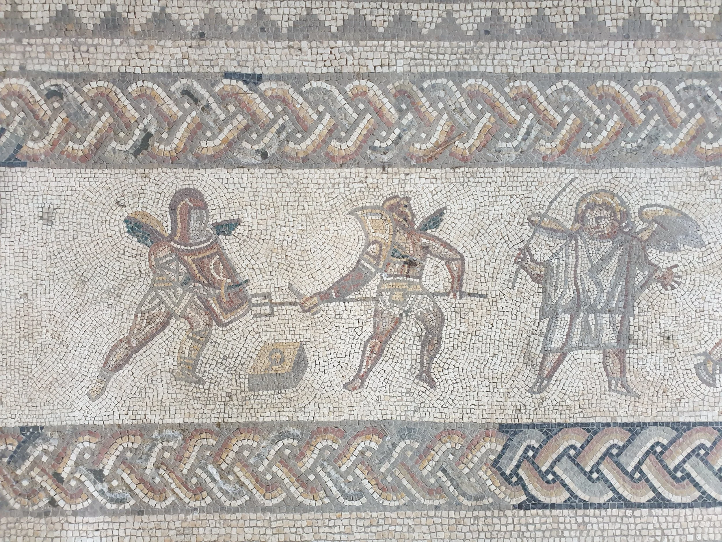
Head up the drive, pay the admission fee and get ready to be amazed at what lies within. The villa itself is long gone, but the remnants of walls and courtyards give an idea of its grand scale. A hypocaust (underfloor heating system) and Roman baths indicate that this villa had luxurious home comforts, but it's the colourful mosaic floors that really make this place so special. There are geometric patterns and pictures of dolphins, gods and gladiators, their details cleverly crafted in squares of coloured rock (Purbeck marble, chalk, sandstone) sourced from across southern England. It's remarkable to think that these artworks are the best part of 2,000 years old.
When you've taken it all in, head partway back down the entrance track and take the footpath on the right to reach the village. Follow the lane round to the right (past the church) and continue ahead, signposted Sutton. The lane heads down a steep slope and back up the other side, at the top of which The White Horse Inn makes a welcome sight. This historic pub has had a smart, contemporary makeover and serves up exceptional meals (either indoors, or on the terrace in fine weather) using Sussex ingredients, washed down with local beers, gins and sparkling wines. It's not a cheap lunch, but it's worth every penny.
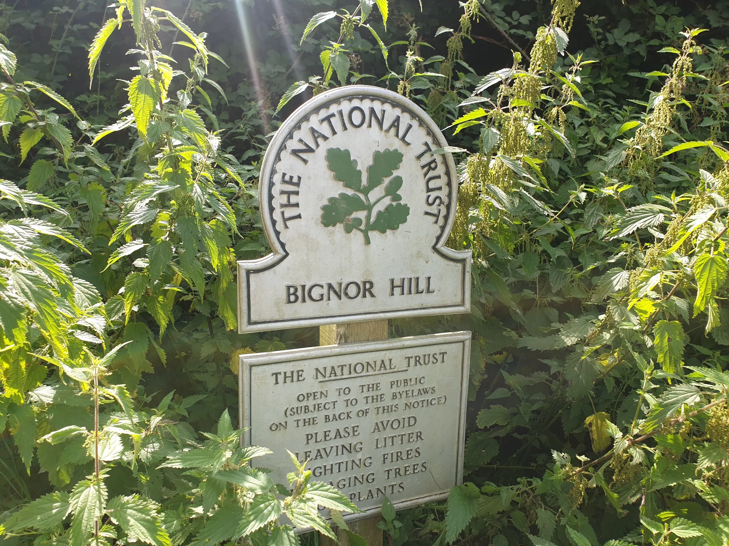
You may as well go to town and order a pudding as you'll be burning up the calories on the next part of the walk. From the pub, exit to the right and turn immediately left up a driveway to pick up a footpath around the side of a lovely thatched cottage. This leads into a field, then an often rather muddy wood bisected by a tinkling stream. At the top of the rise, turn right on the lane back into Bignor and follow this round to Bignor Farmhouse, whereupon turn right. The dead-end lane ahead leads up the wooded flank of Bignor Hill, which is steep enough to justify that decadent dessert.
Where the lane bends right, take the bridleway on your left and continue uphill along the track. When this levels out towards the top, a view starts opening up between the trees, looking north across the Weald to Pulborough, with the North Downs beyond. Further on, the path merges onto the South Downs Way and the view switches to the other side: right across the coastal plain and out to the English Channel.
As the path dips downhill again to reach the A29, turn right and cross carefully to stay on the South Downs Way. Looking ahead, the high ground of Amberley Mount (across the Arun Valley) fills the skyline. As the path descends through a patch of woodland and into open fields, you'll see the river below you and the footbridge you crossed way back at the start. Further to the left is Amberley village and, left again, the steeple of Bury church peeping over the trees. Stay on the path and cross the footbridge once again, retracing your steps from here along the riverbank to the station, with the option of pausing at the Bridge Inn (to the right of the railway overpass) for a celebratory pint or two before finally catching the train.
Start planning your journey with www.thetrainline.com